It seems ironic that while successful rice cultivation depends on the controlled flooding of rice fields in early summer, the fear of floods brought about by natural causes is one of the greatest that rice farmers have to face. Inundation of the fields at the wrong time of year, particularly just before harvest, can be disastrous.

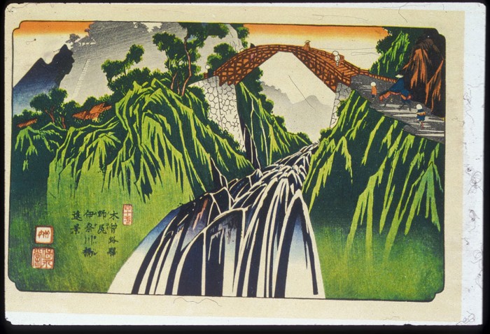
For much of the year the rivers of Japan flow at a relatively gentle pace. Not only are they an important source of freshwater, but rivers also provide a recreational amenity and are regarded as sites of great scenic beauty. This all changes, however, after periods of heavy rain or rapid snow melt. Then, rivers can turn to raging white-water torrents with tremendous destructive power. In low-lying areas it is possible at such times for rivers to break their banks and flood wide areas. This can bring loss of life and injury, damage to property, and the destruction of crops. A sudden thaw in spring; particularly intense rainfall during the wet seasons of June and September; or a direct hit from an autumn typhoon all bring this threat. Many stone memorials or signboards in villages or by the wayside which commemorate major floods of the past are testament to the widespread chaos that floods can cause.

Deforestation of many upland slopes during the Pacific War led to a greater risk of flooding in the immediate post-war years. Without trees to slow down the rate of run-off after a storm, the short rivers of Japan quickly became over-burdened and burst their banks. Subsequent replanting by government forestry agencies helped to reduce this problem, as did the introduction of water control schemes through the construction of small reservoirs. Perhaps the most noticeable impact on the landscape, however, was the building of high and wide concrete-lined levees along most major rivers during the 1950s and 1960s. Since their construction the threat of widespread flooding has greatly diminished.
There is still no room for complacency, on the other hand, especially since new sets of problems have arisen in recent years which may once again lead to an increased risk of flooding in future. Over-extraction of underground water in many of the larger urban areas, especially Tokyo and Osaka, has led to the problem of land subsidence, at rates of up to one or two inches a year in the worst affected areas. In some cases land has sunk below mean sea-level. Not only does this create the risk of building collapse, but areas near the sea which have been affected this way will now be prone to flooding during periods of abnormal high tides. To counteract this threat the government has enacted legislation which controls the amounts of water which can be pumped from underground by industry and for domestic use.

